Smartown
Web mapping for civil engineering
A web GIS for planning and inspecting infrastructure projects: layers, measurements, drawing tools and street-level imagery.
- Built at
- WOLO
- Role
- Full-stack developer · team lead
- Period
- 2024 – 2025
- Status
- Internal project
Context
Civil engineering teams needed to visualise surveyed assets on a map and check them against street-level imagery without desktop GIS software.
What I built
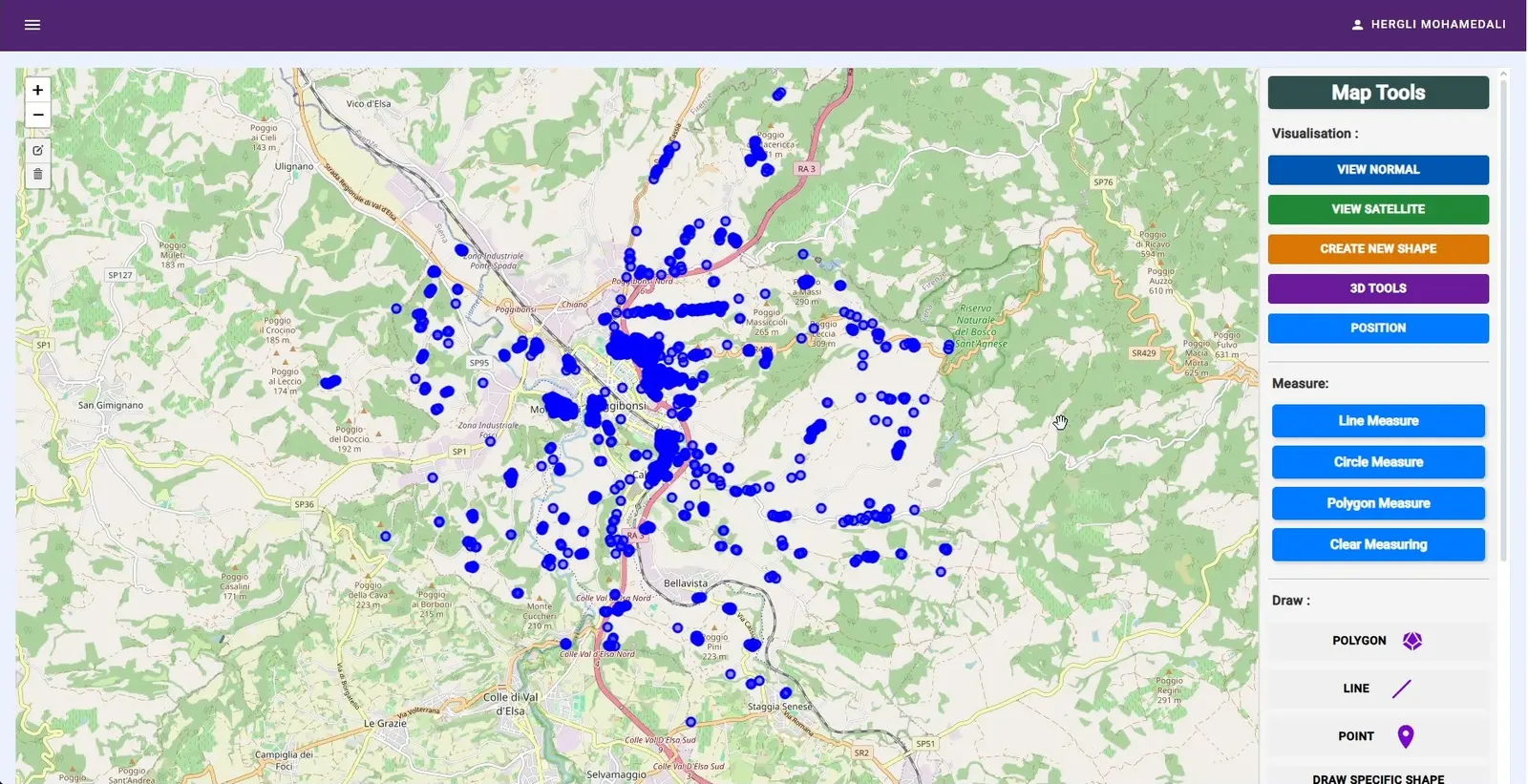
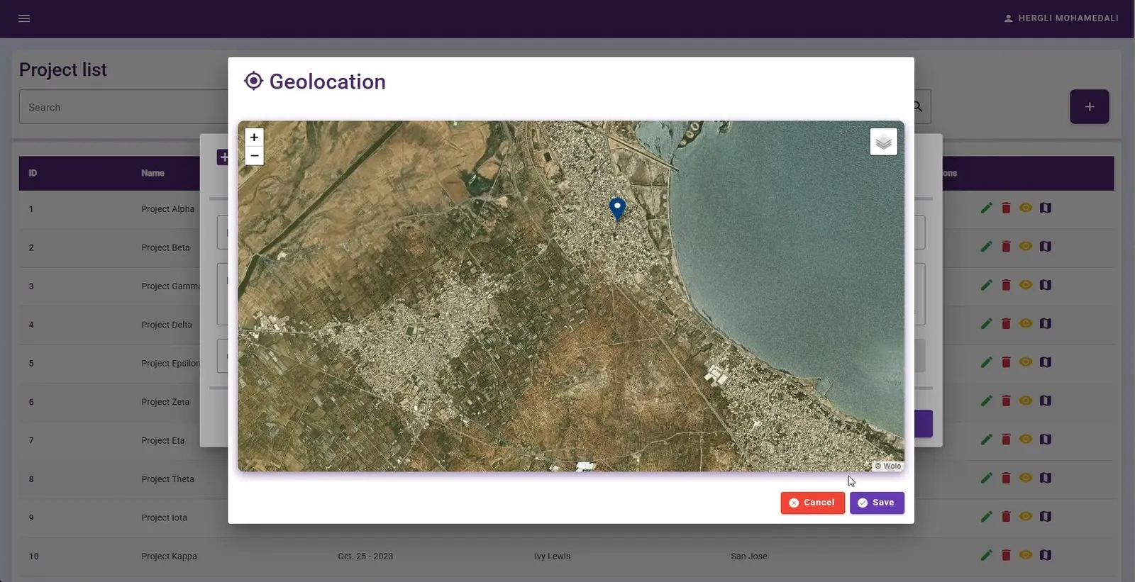
- Leaflet map with normal and satellite views, thousands of surveyed points and geolocated projects.
- Line, circle and polygon measurement, plus drawing and import/export tools.
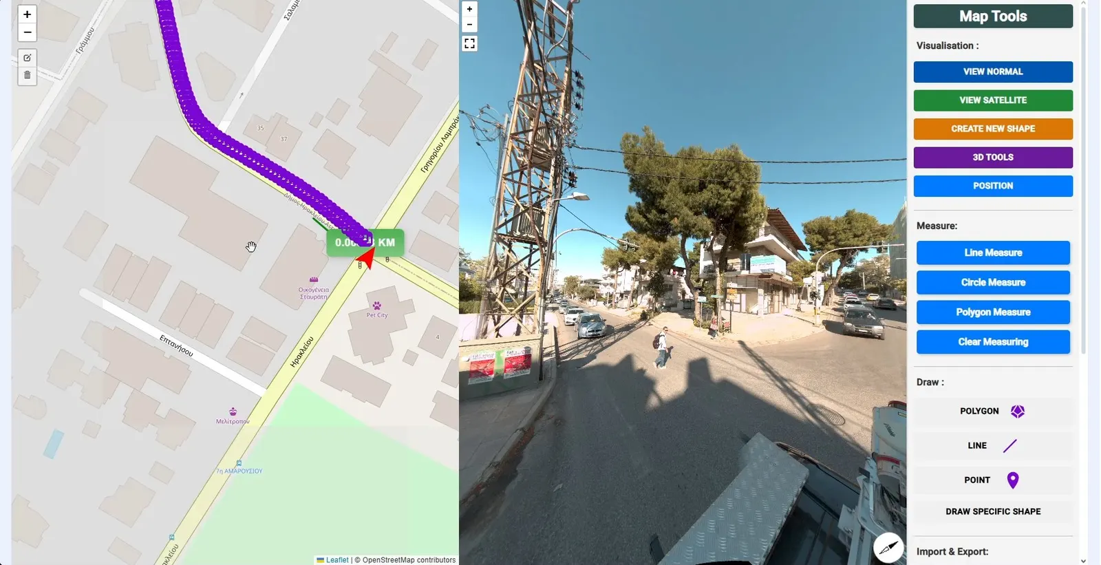
- Map synchronised with 360° street-level imagery along a surveyed route.
- Role-based access and a NestJS API, deployed with Docker and Nginx.
Screens